NWHI acoustic monitoring
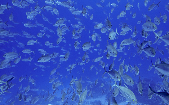
The Northwestern Hawaiian Islands (NWHI) make up the Papahānaumokuākea Marine National Monument (PMNM), the single largest conservation area in the United States and one of the largest marine conservation areas in the world. PMNM encompasses 139,797 square miles of the Pacific Ocean, which is an area larger than all the country’s national parks combined. The Monument is home to over 7,000 marine species, one quarter of which can be found only in the Hawaiian Archipelago.
The size and remoteness of the PMNM are both a blessing and a challenge for Federal and State management agencies responsible for maintaining the health of the ecosystems and preserving the cultural resources found in the Monument. The location of the NWHI in the central north Pacific, far away from populated areas, affords their ecosystems protection from many forms of human exploitation. However, this same attribute also makes it challenging to conduct regular monitoring activities. To meet the need for year-round observation of Monument resources, an effort was begun in 2006 by the National Oceanic and Atmospheric Administration, in partnership with the Hawaii Institute of Marine Biology and OSI, to monitor long-term trends in biological and anthropogenic activities in PMNM using passive acoustic methods. Eight shallow water monitoring sites (< 25 m) were established using Ecological Acoustic Recorders (EARs) at French Frigate Shoals, Maro Reef, Lisianski Island, Pearl & Hermes Reef, Midway atoll and Kure atoll. In addition, beginning in May 2010, four deep-water (123 to 405 m) monitoring sites were created using deep EARs at Nihoa, French Frigate Shoals, Lisianski Island and Kure atoll. The objectives of these data collection efforts included: creating long-term time series of bioacoustic activity in marine habitats to infer changing biodiversity patterns, exploring links between fluctuations in the ecosystem and climate change, establishing patterns of marine mammal occurrence across the archipelago, and documenting permitted and unpermitted vessel traffic within the Monument. Data collection for this project was halted in 2012 due to Federal funding cuts, but analyses of the data are ongoing.
Partners:


Photos courtesy of NOAA
Products:
Fisher-Pool, P., Lammers M.O., Wong, K. (2010) Northwestern Hawaiian Islands, FrenchFrigate Shoals site FFS2, ecological acoustic recorder (EAR) 6-September-2006 to 1-October-2007, Level 1 analysis of passive acoustic observations, Pacific Islands Fisheries Science Center, PIFSC Internal Report IR-10-031.
Donovan, M., Fisher-Pool, P., Lammers, M.O., Wong, K. (2010) Northwestern Hawaiian Islands, passive acoustic monitoring site FFS1, French Frigate Shoals, Ecological Acoustic Recorder (EAR), 06-September-2006 to 24-September-2007, Level 1 analysis of passive acoustic observations, Pacific Islands Fisheries Science Center. PIFSC Internal Report IR-10-029.
Lammers, M.O., Fisher-Pool, P., Au, W.W.L., Wong, K., Meyer, C. and Brainard, R., (2011). “Humpback whale Megaptera novaeangliae song reveals wintering activity in the Northwestern Hawaiian Islands.” Mar. Ecol. Prog. Ser. 423:261-268. DOWNLOAD PDF
Could not save XML file
Could not save marker XML file (/home/content/81/3815881/html/cms/wp-content/uploads/wp-google-maps/5markers.xml) for Map ID 5